 A study co-led by University of Washington researchers presents a new way to identify where landslides are most likely to block rivers and create dangerous natural dams. The approach estimates dam risk by combining how wide a river valley is with how big future landslides might be, using existing maps and automated measurements.
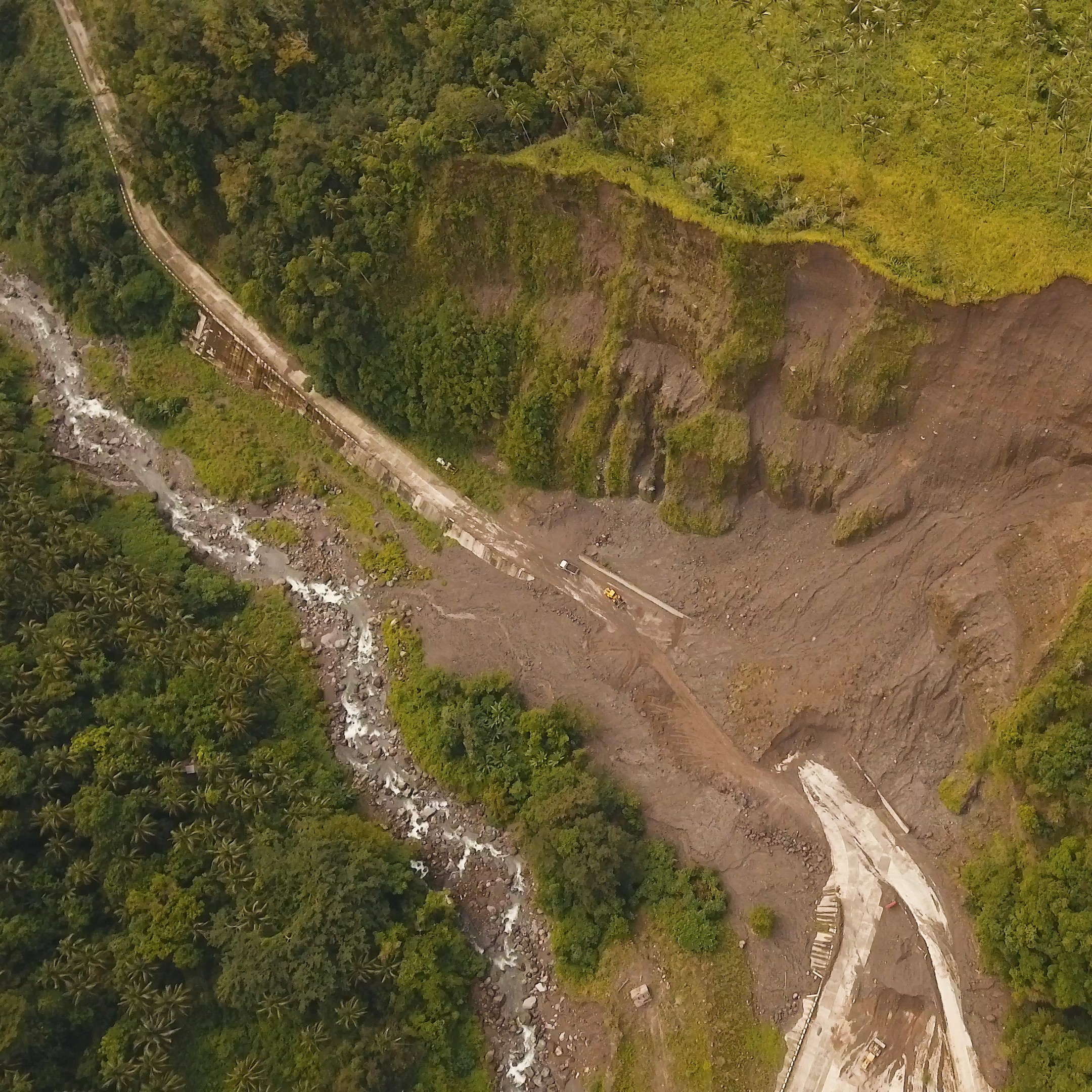
When applied to Oregon’s Coast Range, the results show that about one‑third of river sections have a high chance of being blocked by landslides. Most of these potential dams would probably create small lakes, but rare, very large landslides could form larger lakes that pose serious flood risks. The method matches well with locations of known past landslide dams, giving confidence in the results. Because the approach is flexible and data‑driven, it can be updated easily and used to assess landslide dam hazards in other regions.